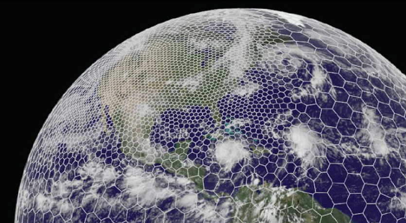
The latest GRAF® weather model improvements
Continue reading

This post is part one of a two-part blog series dedicated to severe thunderstorm and convection weather education. Read part 2 here.
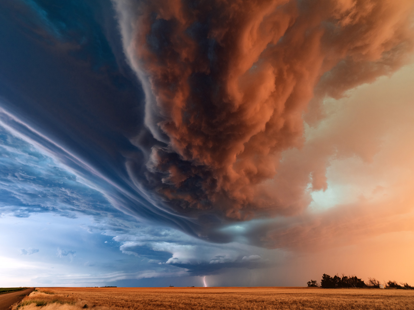
Picture this: it’s late March. Grass is greener. Flowers are budding. The temperature is picking up. The weather is finally calming down, and you let out a sigh of relief.
Then it happens. Strong gusts of wind, bouts of hail, and even tornadoes. Looks like you’re not out of the woods yet.
That’s because spring isn’t just a time of renewal. It’s also the time when severe weather starts to show its true power. And for meteorologists, it’s the most exciting season to witness–especially because of severe thunderstorms.
What causes severe thunderstorms during spring in the US?
The answer has to do with the rise in temperatures as the northern hemisphere increases its angle to the sun. This causes longer daylight hours. But there are many more variables needed to create severe thunderstorms. These include:
- Available moisture
- An unstable atmosphere
- A lifting mechanism
- Wind shear
How these phenomena create severe thunderstorms
During the spring, the Polar Jet is still very active and is associated as a boundary with cold Canadian air on its northern side. This cold air mass comes down from Canada and interacts with the warm, moist air that moves northward from the Gulf of Mexico. This available moisture is crucial in the development of severe thunderstorms.
What’s more, the Great Central Plains provides an excellent backdrop, or “battle zone” if you will, for these two air masses. When spring arrives, the upper atmosphere is relatively cool–even cold. And the lower levels of the atmosphere get warmer thanks to the longer days.
This is the catalyst for the second ingredient in severe thunderstorm development: an unstable atmosphere. Meanwhile, the Polar Jet still dips down into the central US, creating strong mid- and upper-level disturbances in the atmosphere.
These disturbances support frontal zones and frontal waves which are located between the “battle zone” of two air masses located on or near the surface (in this case, the Great Plains.) And thus, we have our third ingredient for severe weather: a lifting mechanism.
So what about the last ingredient: wind shear?
Forms of wind shear
- Vertical wind shear: This type enhances the thunderstorm updrafts, allowing the storm to continue to get stronger and stronger.
- Lower-level directional wind shear: Thunderstorms need this kind of wind shear to occur in the lower levels of the atmosphere, which helps the updrafts to start rotating.
When all these ingredients are in play, convection happens. And weather forecasters feel the hype. They know severe springtime thunderstorms are coming up–and they’re in for quite a show.
Wrapping up
While this isn’t a comprehensive list of severe weather requirements, I hope I gave you a quick and easy resource to understand the basics of why spring is a likely time for severe weather thunderstorms.
So now, why not go outside and enjoy the possibilities spring has to offer? Just keep in mind that there are bigger forces that can bring you a pretty entertaining light show.
Want to know more about how The Weather Company helps the aviation industry operate amid thunderstorms? Check out part two of this blog post series.
Let's talk
To learn more about our advanced aviation weather solutions, contact our aviation experts today.
Contact us