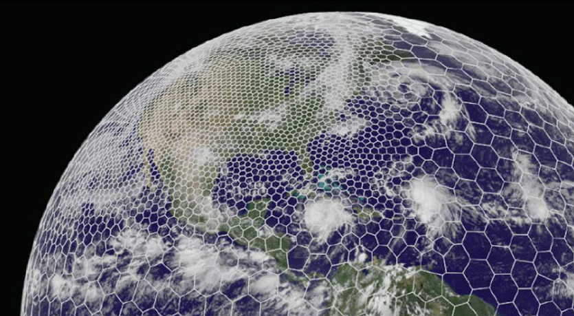
The latest GRAF® weather model improvements
Continue reading


Subscribe
We’re glad you’re here! Subscribe today to receive expert insights, event details, and product news by email.By signing up, you consent to receiving communications from The Weather Company. You can unsubscribe anytime here or by clicking the unsubscribe link in each email. To learn more about how we handle your data, visit our privacy policy.
(Episode 8)
Episode overview: Forecasting the storm the models cannot place
Air mass thunderstorms are the toughest scale in convective forecasting — not because they’re the strongest, but because they are small, short-lived, and smaller than the grid boxes numerical models use to represent the atmosphere. A morning briefing calling for a 30% chance of afternoon storms can be entirely accurate and still leave an operation caught. At 2:00 p.m. the radar is clean. By 3:15 p.m. a single cell is parked over the field, the ramp is closed, and aircraft on final approach are reporting significant windshear.
In this episode, our embedded meteorologists explain how they close that gap. Because weak steering flow leaves these storms pulsing and decaying in place rather than moving, forecasters lean on local station knowledge, surface and instability analysis, visible satellite, and rapid-refresh guidance to narrow where and when convection will initiate — then stay in constant contact with airline decision makers as outflow boundaries from the first round become the trigger for the next. We also examine why these storms turn genuinely dangerous over the desert Southwest and mountainous terrain, where dry microbursts can arrive with almost no visual warning and a haboob can take an airport from VFR to below IFR minimums in a matter of minutes.