The latest GRAF® weather model improvements
Continue reading


What do we mean by “minutely” forecasting, and how do we do it?
Traditional weather forecasting is great at predicting large-scale shifts days in advance, but answering “Will it rain here in the next ten minutes?” requires a different model. In this short video, learn how we combine real-time radar advection (“nowcasting”) with atmospheric physics to deliver pinpoint, minute-by-minute precipitation tracking and how advanced filtering keeps alerts accurate so you can make confident decisions on the go.
Read the Q&A blog for a deeper dive into the science behind up-to-the-minute precipitation forecasting.
Weather prediction usually works by running physics models on supercomputers that look at very broad regions of the planet, and they’re remarkably good at the big picture. They’ll tell us days ahead that a cold front is moving across the state.
But those models think in big units: grids miles wide and time in hours. So answering the question that people ask most, “Is it going to rain right here in the next ten minutes?” takes a completely different approach.
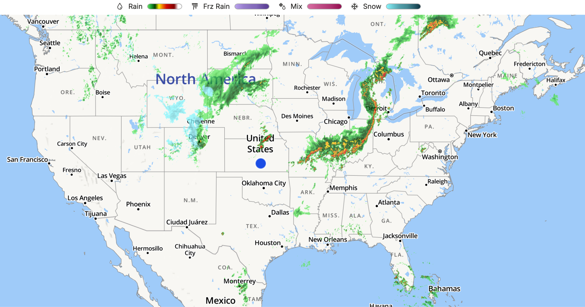
For minute-by-minute forecasting, we set the big simulation models aside and focus on what meteorologists call radar advection or “nowcasting.” We also refer to it as “minutely” forecasting.
We use the current radar to locate the precipitation, calculate the speed and direction it’s moving, and mathematically determine where and how heavy it will be at any given location in real time. Because it’s built on what’s actually happening right now, it’s extremely accurate in the short term.
But watching only gets you so far, and radar advection accuracy begins to sharply diminish beyond 60 minutes. For example, a single radar scan can’t see a storm that hasn’t formed yet or a cell that’s about to collapse.
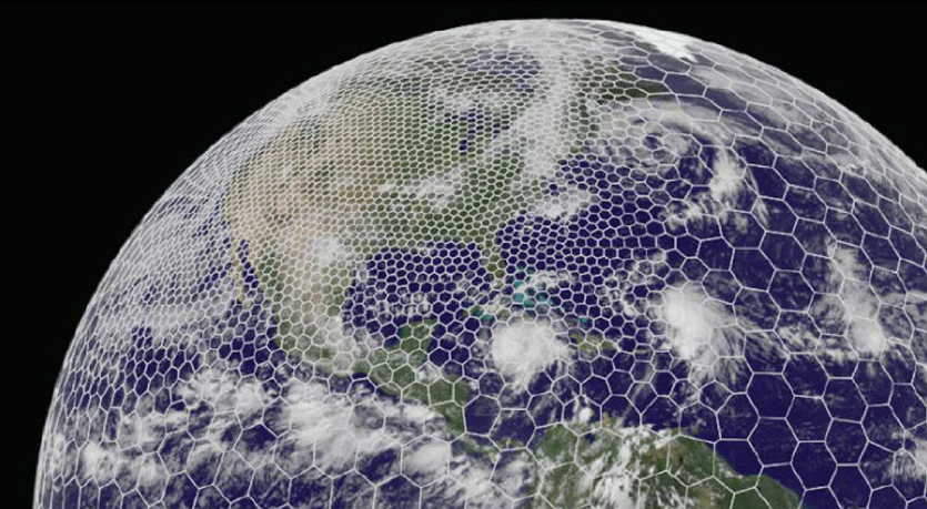
So right around the one-hour mark, our system makes a handoff — like one runner passing the baton to the next. The live radar tracking blends into our high-resolution global model, GRAFⓇ, which brings atmospheric physics into play. Merging real-time observation with physics lets us carry an accurate, minute-by-minute forecast all the way out to the 90-minute mark.
Minute-by-minute forecasting isn’t about putting more data on a screen. It’s knowing when to track a storm by watching it, when to bring in the physics models, and how to filter out the noise so what you see is something you can actually plan around.
Before we put a rain alert on your screen, our system cross-checks the radar against several meteorological conditions. If those conditions are not met, we suppress the precipitation alerts.
Reach out to learn more about “minutely” forecasting, precipitation alerts, and the science behind all of our efforts to bring you the most accurate weather data possible.
Let's talk
Reach out to learn more about how we are building uder confidence with accurate, minute-by-minute forecasts.
Contact Us